Home
3D Scanning
BLK360
BLK360 G1
BLK2GO
BLK2GO PULSE
BLK2FLY
BLKARC
RTC360
P-Series
Cyclone FIELD 360
Cyclone REGISTER 360 PLUS
CloudWorx
Cyclone 3DR
TruView
Map360
Archive
Mobile Mapping
Hardware
Pegasus Backpack
Pegasus Two Ultimate
Software
Inertial Explorer
Infinity
Pegasus Manager
Mission Planning
Processing
Rail Factory
Rail Track Geometry
Real Time Data Exchange
Road Factory
Trajectory Adjustment
View Only
Pegasus MDA
Virtual Training
SMART PLAN
Login
Register
Table of Contents
Toggle sidebar & navigation
Home
3D Scanning
BLK360
BLK360 G1
BLK2GO
BLK2GO PULSE
BLK2FLY
BLKARC
RTC360
P-Series
Cyclone FIELD 360
Cyclone REGISTER 360 PLUS
CloudWorx
Cyclone 3DR
TruView
Map360
Archive
Mobile Mapping
Hardware
Pegasus Backpack
Pegasus Two Ultimate
Software
Inertial Explorer
Infinity
Pegasus Manager
Mission Planning
Processing
Rail Factory
Rail Track Geometry
Real Time Data Exchange
Road Factory
Trajectory Adjustment
View Only
Pegasus MDA
Virtual Training
Tag /
Image Ctrl
Custom Station
Detail Scans
Distance to Object
Dual Axis Compensator
EDM
Field of View
Filter
Fixed Distance
HDR Imaging
Image Ctrl
P20
P30
P40
P50
Quick Scan
Resolution
Scan & Image
Scanner Setup
Sensitivity
Target All
Targets
Tripod
White Balance
3D Scanning
,
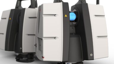
P-Series Scanners
Free Station Scanning with the P-Series (P30, P40 & P50)