• Home
  • 3D Scanning
    • BLK360
    • BLK360 G1
    • BLK2GO
    • BLK2GO PULSE
    • BLK2FLY
    • BLKARC
    • RTC360
    • P-Series
    • Cyclone FIELD 360
    • Cyclone REGISTER 360 PLUS
    • CloudWorx
    • Cyclone 3DR
    • TruView
    • Map360
    • Archive
  • Mobile Mapping
    • Hardware
      • Pegasus Backpack
      • Pegasus Two Ultimate
    • Software
      • Inertial Explorer
      • Infinity
      • Pegasus Manager
        • Mission Planning
        • Processing
        • Rail Factory
        • Rail Track Geometry
        • Real Time Data Exchange
        • Road Factory
        • Trajectory Adjustment
        • View Only
      • Pegasus MDA
  • Virtual Training
SMART PLAN
Login Register
Table of Contents
Toggle sidebar & navigation
  • Home
  • 3D Scanning
    • BLK360
    • BLK360 G1
    • BLK2GO
    • BLK2GO PULSE
    • BLK2FLY
    • BLKARC
    • RTC360
    • P-Series
    • Cyclone FIELD 360
    • Cyclone REGISTER 360 PLUS
    • CloudWorx
    • Cyclone 3DR
    • TruView
    • Map360
    • Archive
  • Mobile Mapping
    • Hardware
      • Pegasus Backpack
      • Pegasus Two Ultimate
    • Software
      • Inertial Explorer
      • Infinity
      • Pegasus Manager
        • Mission Planning
        • Processing
        • Rail Factory
        • Rail Track Geometry
        • Real Time Data Exchange
        • Road Factory
        • Trajectory Adjustment
        • View Only
      • Pegasus MDA
  • Virtual Training
HDSU Smart Plan

Tag / Bundles

BundlesHyperlinksLarge DatasetsMultiple BundlesRegister 360SiteMap
3D Scanning, Cyclone REGISTER360

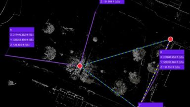
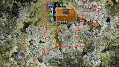
Using Multiple SiteMaps in REGISTER 360

Using Multiple SiteMaps in REGISTER 360 is a great way to separate data into smaller groups. Data registered in one bundle can be separated into separate SiteMaps and links can be created to navigate between them in TruView. Multiple SiteMaps is also a great tool […]
BLK360, Cyclone REGISTER360, RTC360

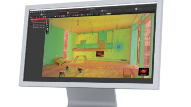
Teachable Class – Processing BLK360 Data in REGISTER 360 (including BLK Edition)

This self-guided Teachable class shows users how to import, verify and process point cloud data in REGISTER 360. It also highlights some of the basic tool sets in the program.

3D Scanning, Cyclone REGISTER360

Applying Multiple Control Files to a Project in REGISTER 360

The following workflow videos shows how to manage multiple control files in a single project in REGISTER 360. It covers minimum requirements for targets, how to edit control files and create virtual targets.

© 2025 Leica Geosystems – Part of Hexagon | Privacy Policy | Code of Business Conduct and Ethics | Cookies Settings | Ethics | Compliance

Designed by WPZOOM