Volumes
Volumes are easily calculated in the Cyclone software. The three different volume calculations available are Enclosed Modeled Objects, TIN to a Plane, and TIN to TIN.
Volumes are easily calculated in the Cyclone software. The three different volume calculations available are Enclosed Modeled Objects, TIN to a Plane, and TIN to TIN.
The UCS tools are important for manipulating the point cloud. UCS can be Set to Up Direction, Set to an Object, Set from Points, Set to X, Y, Z Axes.

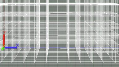
Existing TINs can be re-sampled to reduce the number of triangles and create an evenly spaced grid of points or mesh over an irregular mesh.
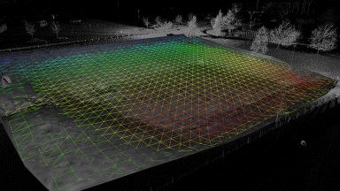
Surface deviation is a great tool to see how much one TIN deviates from another.
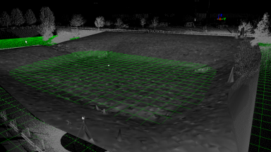
Reference Planes are extremely helpful tools for Points on a Grid, Alignments, Volumes, 2D Drawing Tools, Modeling and Measurements. Multiple Reference Planes can be created and saved.

Most of Cyclone program settings are found in the Preferences. These can be assessed from Cyclone Navigator or within a ModelSpace View. Changing some of the preferences can enhance program functionality.
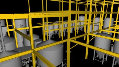
3D Surface Models can be created form the point cloud data in Cyclone. This section covers Piping, Steel, Parts Table, Steel, Patches, Boxes and Cones, Copying and Moving modeled objects
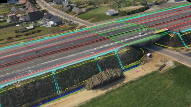
Breaklines are important features in any topographical map for the creation of TINs as they set defined boundaries. Polylines can be created in Cyclone from Pick Points, Virtual Surveyor, Fit Edge or Roadway Alignment and Station tool.
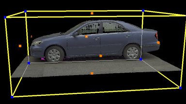
Limit Boxes provide a way in Cyclone to isolate or limit the amount of point cloud data or modeled object that is viewed. Limit Boxes may be moved, changed in size and rotated to match the subject. Multiple Limit Boxes can be set and saved.
Layers in Cyclone provide a powerful tool for managing the visibility and selectability of point clouds or modeled objects. Users can import their standard CAD layers into Cyclone using COE.